Share this page :
Oriel Offshore Wind Farm Metocean Surveys
Oriel Offshore Wind Farm Metocean Surveys
Client: Parkwind
Sector: Offshore wind
Project Name: Oriel Offshore Wind Farm (Eire)
Services Provided:
- Wave measurements
- Currents measurements
- Wind velocity measurements (floating lidar)
The project
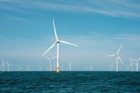
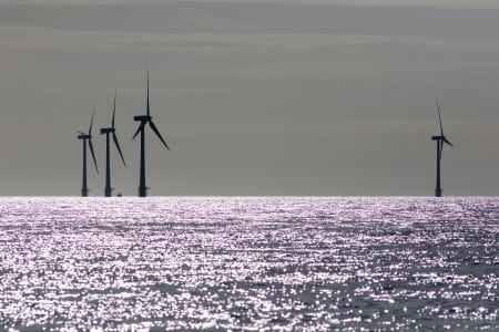
The Oriel Wind Farm project is being jointly developed by Parkwind NV and ESB, Ireland’s foremost energy company and the largest supplier of renewable electricity in Ireland. The project area is located in the Irish Sea off the coast of County Louth, to the east of Dundalk Bay, and is planned to be the first fully operational commercial wind farm in Irish waters. The Oriel location was chosen, following an extensive review of sites in the Irish Sea, as being a suitable site on which to develop an offshore wind energy project. The wind farm will have a capacity of up to 370 MW which will provide a significant contribution to the renewable energy target for Ireland.
Our approach
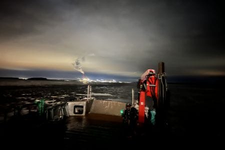
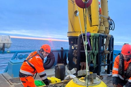
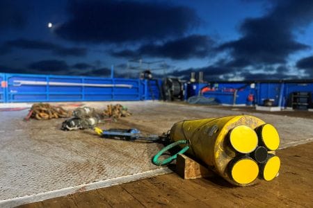
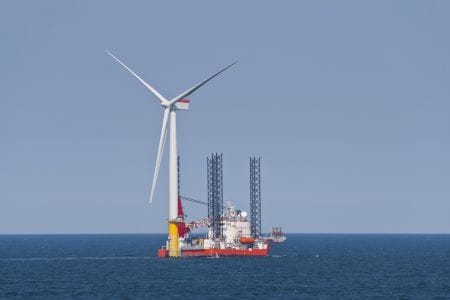
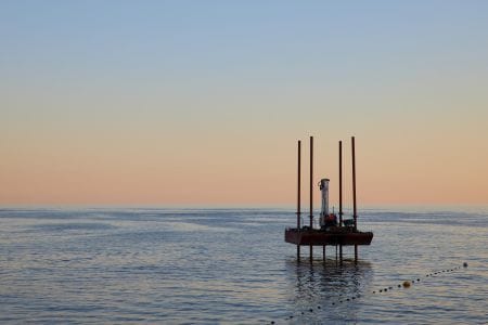
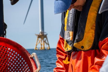
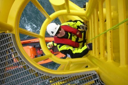
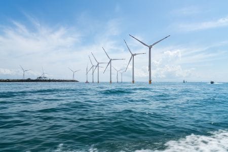
A range of environmental and technical surveys are required to provide developers with a suitable level of information to make informed decisions about site feasibility and constraints, to underpin Environmental Impact Assessments and to inform engineering design for the offshore area, the proposed cable route and substation positioning. We have a long track record of working with clients to develop appropriate solutions to monitor physical ocean parameters to ensure they meet their project objectives, provide robust bankable datasets and facilitate consenting through the regulatory process. We specified an FLS200 floating lidar buoy to measure the near surface wind field at the Oriel site (to 245m absl ), with ancillary systems to measure waves, current profile and water temperature. We have significant experience with this technology through our involvement in other commercial projects, and also during its journey through the Carbon Trust roadmap verification process. The equipment was deployed for a year from October 2019. The data availability of the system varies by parameter; for wind parameters the buoy data return was in the range of 93.4% to 99.1% for almost all of the wind parameters measured. The wind speed and direction measurements at 120m above the sea surface returned a figure of 96.9%. These values, respectively, exceed the Carbon Trust Stage 3 KPIs for floating lidar systems. Data availability for metocean parameters was 97.4%.
Client benefits
The FLS200 buoy performed exceptionally well, and this project serves to illustrate to the emerging Irish offshore wind market that we have three key factors to collecting offshore data of the highest quality:
- robust monitoring marine technology;
- an unrivalled, agile and flexible offshore logistical capability; and
- scientific expertise in meteorological and oceanographic processes, analysis and advice.